Sustainable land development, proper protection of coastal and freshwater resources, and resilient communities are part of today’s culture.
Bello & Bello is very familiar with the complexity of environmental permits at municipal, county and state level and we assist our clients in supplying survey maps and all necessary data for processing permits with local Environmental Resource Management Agencies, SFWMD and Florida Department of Environmental Protection (DEP). We provide a variety of mapping products usually required for environmental applications, such as:
- Tree Location Surveys for Tree Removal Permits
- Tree Matrixes
- Class I, II, III and IV Permit Surveys.
- D-5 (D-5 Triangle) Boundary Lines Determination
- Wetlands Location and Delineation Surveys
- Wetland Fill Permit Surveys
- Site elevations for fill volume calculations
- Historic Sites Surveys
- Indian Cemetery Burial Surveys
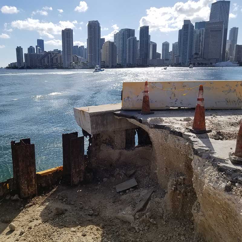
- Seawall restoration surveys
- Mean High Water Line Surveys (MHWL)
- CCCL – Coastal Construction Control Line Setback Surveys
- One-Hundred-Year (100 Yr.) Storm Elevations FEMA Elevation Certificates
- FEMA LOMAs, LOMRs
- Bulkhead Line Surveys
- Coastal Permit and Docking Facilities Surveys
- Urban Development Boundary (UDB) Distance surveys